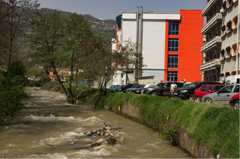
The Polog Region in the Republic of Macedonia faces an elevated flood risk owing to the area’s mountainous topography, the dense hydrographic network comprising of torrential streambeds and rivers as well as a high population density along the Shar Mountain Range. In recent years, extreme weather events caused a number of devasting flood events, most recently in August 2015. However, human and economic losses were not only the cause of violent rivers, but are also a result of inappropriate land-use, i.e. construction in flood plains, rapid urbanization in hazard zones and constricted river courses on the fan; an increased logging in forests is responsible for heightened erosion.
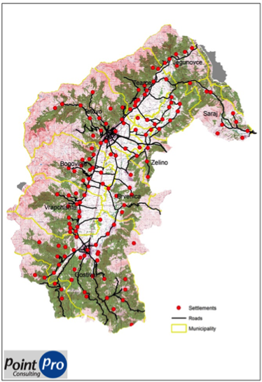
Considering these conditions, the State Secretariat for Economic Affairs (SECO, Switzerland) and the Swiss Agency for Development and Cooperation (SDC) launched a project to increase flood resilience in this economically important area. UNDP is the main implementing partner with participation of local government units, university institutes and private sector companies. NDR Consulting GmbH was mandated by SECO to backstop the inception phase of this project, in particular to provide support for the development of the Flood Risk Management Plan.
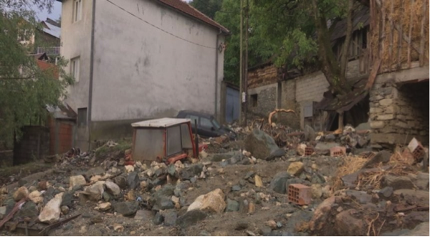
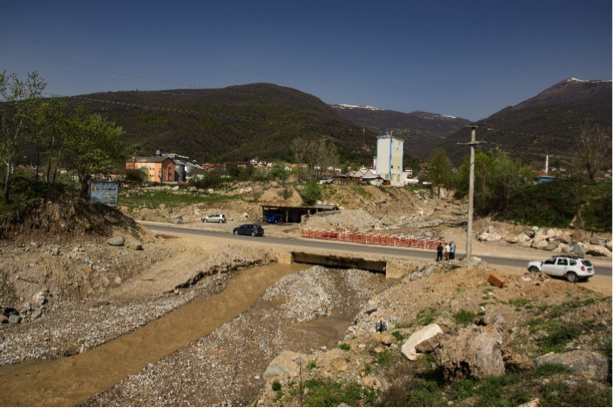
Mudflows frequently affect settlements and traffic infrastructure. April 2018